
Digital twin wayfinding: planning navigation before the walls go up
A building's navigation can be tested long before it exists. What a digital twin shows that a floor plan cannot: sightlines, occlusion, the view at eye height.
Digital twin wayfinding is the practice of designing and testing a building's navigation inside the building's own model: sightlines, decision points, sign positions, messages, mounting heights, all of it settled before anything is drawn as artwork or fixed to a wall. The model is where a wayfinding system is cheapest to be wrong, and the only place you can walk a route while the walls are still an argument.
It's worth being exact about the term, because a fair amount of what gets sold as a digital twin is a rendering with a subscription attached. A twin, strictly, is a model kept synchronised with the real asset by live data. What most Irish projects have at design stage is a federated BIM model with asset information attached, which is a twin in waiting. Either one is useful to wayfinding for the same reason: it holds the building as geometry plus data, and those are the two things a sign has to be right about.
What digital twin wayfinding gives you that a plan does not
A floor plan is flat and omniscient. You see the whole level at once, every route legible, every room labelled, which is the one view of the building nobody using it will ever have. Sign positions marked on a plan look confident and prove almost nothing, because the plan can't show you the downstand the sign will hide behind, the column that eats the approach, or the fact that the corridor bends four metres before the junction.
A plan is the one view of a building nobody will ever have.
The model can be stood in. Drop the camera to eye height, point it along the route a first-time visitor will actually take, and the question changes from where should the sign go to what can be seen from here. Occlusion, glazing, reflected ceilings, the reception desk that arrives late in the fit-out and blocks the first directional sign in the building: all of it is present in the model long before it's present on site.
Testing sightlines
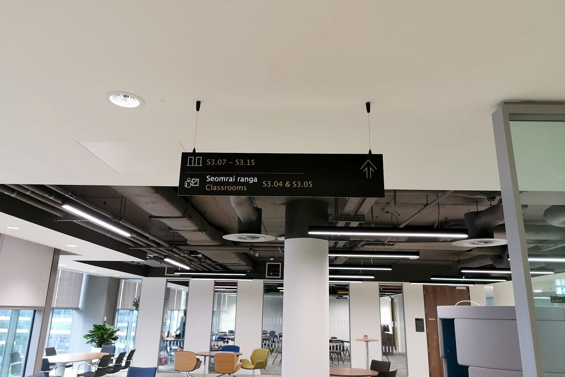
A sign only works if it's legible from the point where the decision is made. That's a measurable claim, and the model is where it gets measured. We walk the primary routes at eye height, stop at every junction and lift lobby, and look. Four checks at each stop:
- Is a sign visible from the approach, and from how far? That distance sets the letter height, because the typography follows the sightline.
- Is anything in the way? Downstands, columns, bulkheads, full-height planting, and doors sitting where they'll sit when somebody has propped them open.
- Does it clash? Sprinkler heads, luminaires, ductwork, structural soffits, ironmongery, sockets and alarm call points are all in the model before the sign is.
- What's competing in the same view? A screen, a poster zone, a fire notice and three other signs will all arrive eventually. If they're modelled, they can be arbitrated now.
Decision points before the walls go up
Navigation is a sequence of decisions, and the model is unusually good at exposing that sequence. Route the primary journeys through it and the decision points count themselves: every junction, every level change, every threshold where a visitor could plausibly go two ways. What emerges is usually fewer sign positions than a plan-led scheme would produce, each one carrying more considered content.
It also makes alternatives cheap. Reversing a door swing, renaming a zone, moving a lift lobby sign to the opposite wall, introducing a landmark where a corridor runs long: all free at model stage, all expensive at snagging. The most valuable thing a digital twin gives wayfinding is permission to try something and throw it away.
The BIM crossover: where the twin gets its data
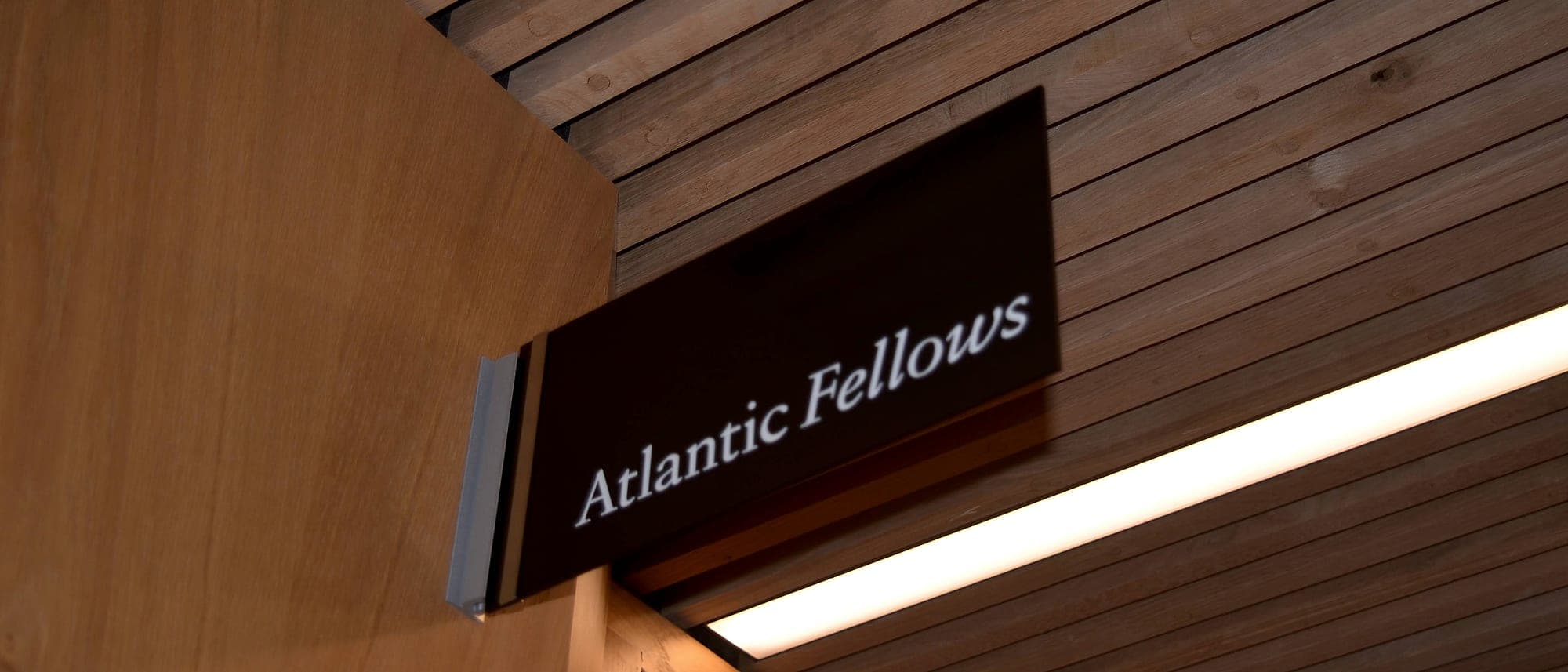
A model you can only look at is a rendering. What makes it useful to signage is that each sign exists as a typed object with parameters: code, type, host wall, level, mounting height, face size and the exact message it carries. That's the ground covered by sign schedules and signage BIM, and it's what turns a sightline test into a specification. Change a room name once and every sign carrying it is flagged, wherever it sits in the building.
It matters upstream too. Every message on every sign should trace back to the destination schedule, the agreed name for each place, settled before anything is drawn. And because signage information can then be issued through the same staged exchange the rest of the project already runs on under ISO 19650, the package stops being an attachment on an email and becomes part of the model everyone is already coordinating against.
Floorplan-first, in practice
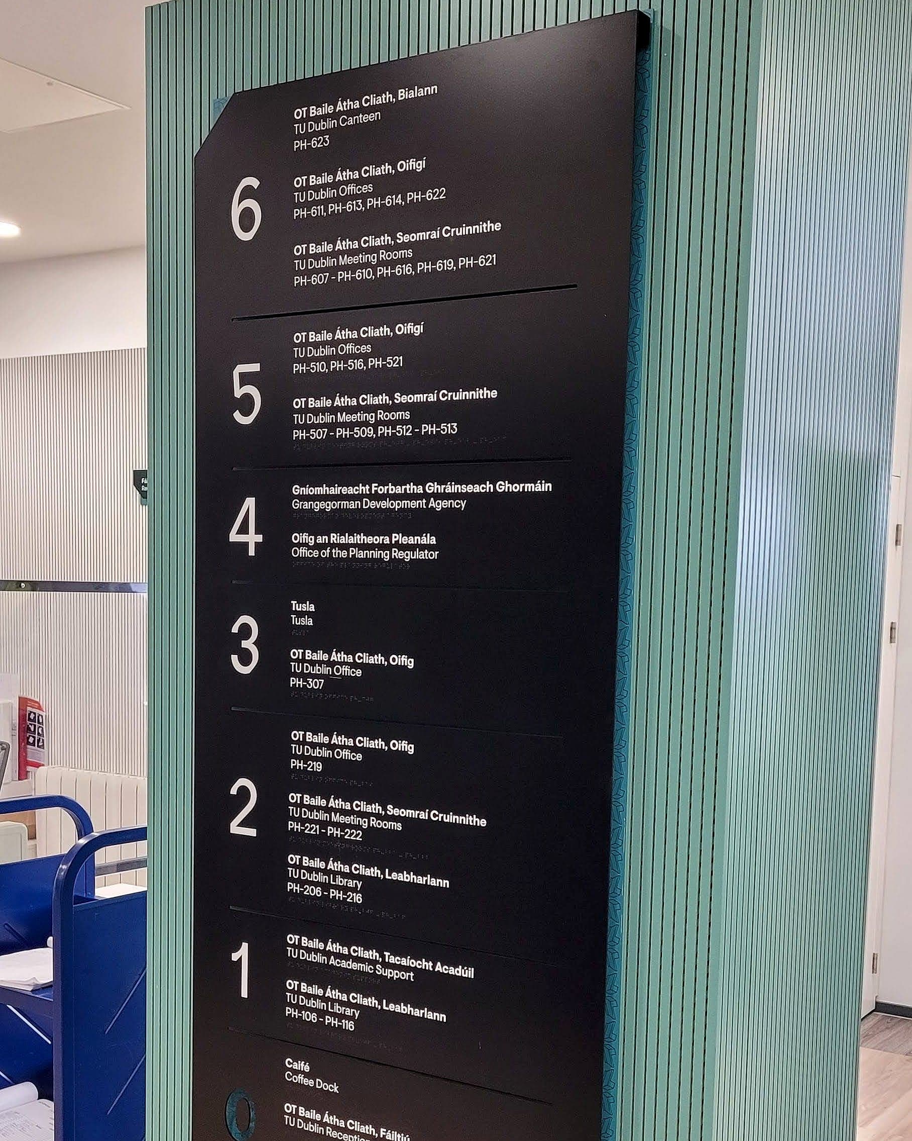
Our own process starts with the drawing. Plans or model views come in first; we set the zones, agree the naming, mark the decision points and place sign types as located objects with their messages attached. Only then does anything become artwork. That order pays off at review, when a client sees positions and messages together, on the building they recognise, instead of a PDF of panels floating in white space. Running the review through our own approval software is what cuts approvals from months to days: comments land on the sign itself, not in an email thread nobody can reconstruct.
Where the model stops and the wall begins
One caveat, offered by people who install rather more signs than they model. The model is a proposition; the building is the fact. Setting-out drifts, partitions move late, a stud lands where a fixing was meant to go, and a refurbishment model is often a decade out of date before anyone opens it. Two things in particular a digital twin won't tell you. Light, because glare on a west-facing corridor at four o'clock is a property of the day, and no model holds the day. And people, because the queue, the trolley bay and the Christmas tree are in nobody's model. So every position is confirmed on a site survey before manufacture, and the corrections go straight back into the schedule.
Digital twin wayfinding doesn't make navigation complicated. It makes it testable: a set of claims about what can be seen from where, checked while checking is still free. If you're modelling a building now, that's the moment to bring wayfinding in. See how we approach strategy and masterplanning, or talk to us while the routes are still lines on a screen.
Planning a wayfinding project? Talk early, while the big decisions are still cheap.