
Indoor navigation: the honest state of the art
Bluetooth, ultra-wideband and visual positioning all work. The download is what fails. When a hospital or campus should buy indoor navigation, and when it shouldn't.
Indoor navigation is the attempt to give a phone a blue dot inside a building, where GPS can't reach. It works. Bluetooth beacons, ultra-wideband anchors and camera-based visual positioning will place a handset somewhere between roughly ten metres and ten centimetres, depending on which one you buy. The honest difficulty has never been accuracy; it's that the person who needs the directions isn't holding the app, and in most buildings never will be.
We design, supply and install the physical layer, and we specify the digital one that sits over it. There's no beacon on our price list, and no reason to talk anybody out of one either. What follows is what we've watched happen in Irish hospitals, campuses and civic buildings, as distinct from what the demonstration video shows.
What indoor positioning actually is
GPS is a signal from space, and a roof is usually enough to spoil it; a second floor and a lift core finish the job. So every indoor system substitutes a local frame of reference, either fixed transmitters whose positions are known or features of the building itself that a camera can recognise, and it bridges the gaps with the phone's own accelerometer and compass. Two jobs hide inside the one product. Positioning is where am I and which way am I facing. Navigation is how do I get from here to the thing I came for. Positioning is the hard half, and the half that gets sold.
The technologies, assessed honestly
- **Bluetooth Low Energy beacons.** Battery transmitters at roughly ten- to fifteen-metre spacing. A few metres of accuracy in an empty corridor, worse in a crowd, because bodies absorb 2.4 GHz. The hardware is cheap; the ownership isn't. Cells expire, and somebody has to hold the record of which beacon sits above which ceiling tile.
- **Ultra-wideband.** Time-of-flight ranging against fixed anchors, accurate to tens of centimetres. The anchors want power and data, and the handset needs a UWB radio, which means recent iPhones and some Android flagships. Half the people coming through the door are carrying something older. Superb for tracking equipment you own; awkward for guiding visitors you don't.
- **Wi-Fi, by round-trip time or fingerprinting.** Reuses the access points already in the ceiling, which is the whole appeal. Fingerprinting needs a survey walk, then another one after every fit-out that moves a partition. Expect several metres, and expect it to decay.
- **Visual positioning.** The camera matches what it sees against a prior 3D scan of the building. Genuinely precise, and nothing goes in the ceiling. But it asks a stranger to walk along holding a phone up, it struggles where every corridor looks like the last one, and it fails in the dark.
- **Dead reckoning.** The step counter and compass that carry the position between fixes. It drifts, and it drifts faster on stairs. Every real deployment is a blend of two or three of the above, tuned building by building.
Positioning was never the hard part. The download is.
The adoption problem nobody puts in the budget
Before a single metre of accuracy matters, a stranger has to know the app exists, find it in the store, download it on a weak indoor signal, grant location permission, grant Bluetooth permission, and then locate the map inside a product built mostly for something else. Every one of those steps sheds people, and they shed at the worst possible moment: on the way in, already late, one hand on a pushchair or a wheelchair, in exactly the frame of mind that makes reading a corridor sign hard enough.
So the buildings where indoor navigation genuinely gets used are the ones where the app was already on the phone for another reason: the student portal, the appointment app, the staff rostering tool, the airline's boarding pass. If your organisation has no app that people already open, what you're really buying is an app with navigation inside it, and the app is the expensive part. Staff are the exception. They use these things far more than the funnel argument predicts, once an employer has put the app on the phone for them.
- **Large estates with repeat users.** Staff, porters, contractors and logistics on a campus or hospital site big enough that even regulars misroute. These people have the app because their employer put it there, so the funnel problem disappears.
- **Asset tracking.** Ultra-wideband on beds, pumps and ultrasound machines repays itself in hours nobody spends searching. Same technology, a use case that never depends on persuading the public to install anything.
- **Accessibility, with care.** Turn-by-turn audio does something a sign genuinely cannot. But app-free approaches often beat a positioning platform on the same ground: NaviLens reads at distance from a printed marker, with no beacons and no map to maintain.
- **Real temporal complexity.** Conference programmes, exam timetables, clinic lists that differ by the day. That's the same test that justifies digital signage: does the content actually move?
Where it doesn't
One-visit buildings are the hard case, and they're the ones that ask for indoor navigation most often. A courthouse, a civic office, an outpatient clinic: peak stress, first visit, no app, and no appetite whatsoever to acquire one at the door. The honest answer there is a better arrival sequence and a directory that settles the question in one look, which is the work we describe in hospital wayfinding.
There's a subtler failure underneath. A positioning platform inherits the building's naming, and inherits its inconsistencies along with it. If the appointment letter says Clinic 4, the door says Suite 4B and the estates database says Ambulatory Care, the app will route somebody confidently to the wrong word. The destination schedule and the naming convention behind it aren't preliminaries to the digital layer; they're the data it runs on.
The line an app cannot cross
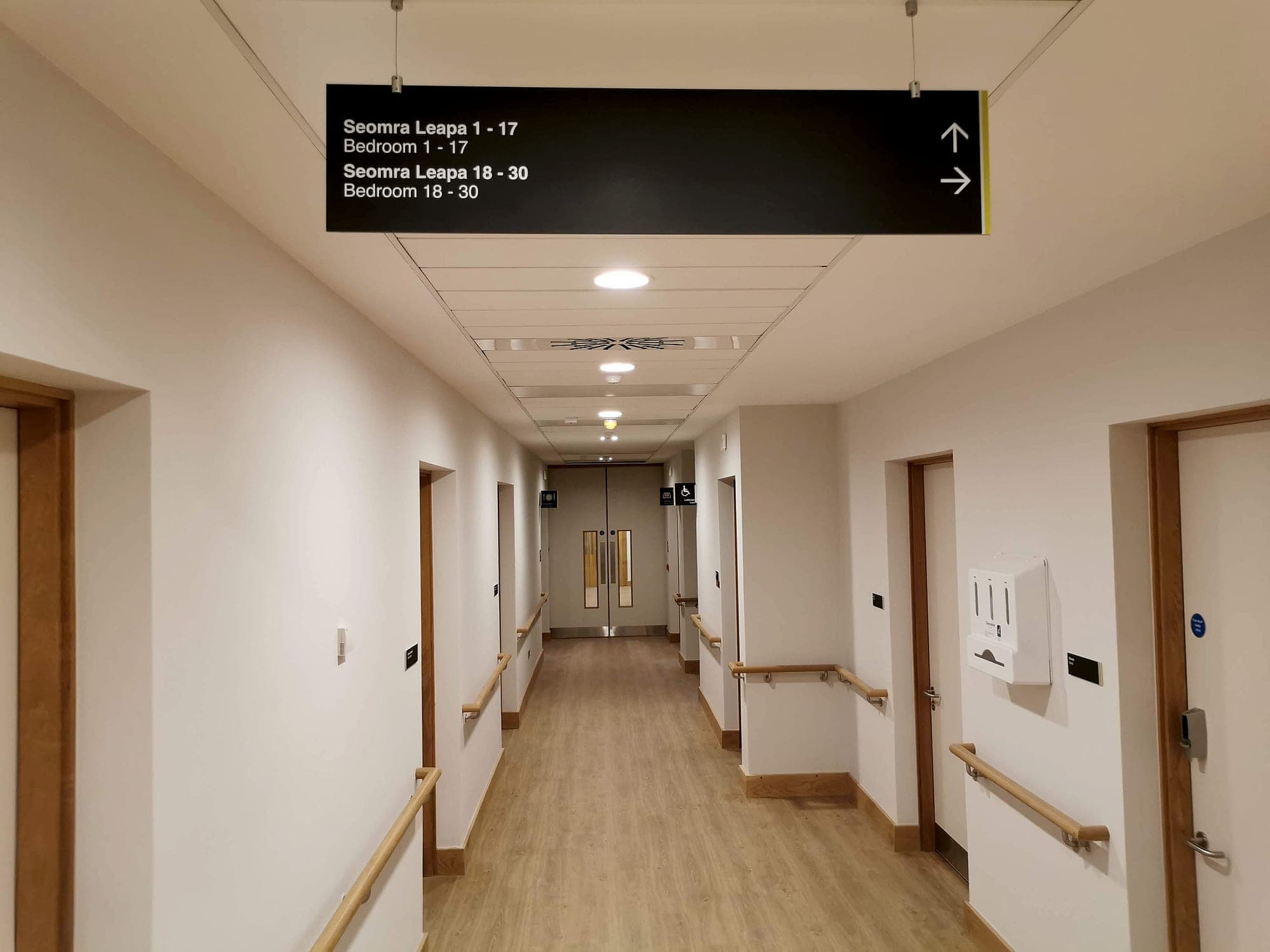
Two obligations sit outside this argument entirely. Accessible signage is a requirement of the physical building: Part M and its technical guidance document, with BS 8300 behind it, set the expectations for visual contrast, tactile and braille provision, lettering and mounting height. Nothing in that regime is discharged by software, and no positioning platform is a defensible reason to specify less signage.
Escape signage is stricter still. Fire-safety and escape-route signage sits under Technical Guidance Document B, with ISO 7010 symbols carrying the meaning, and it has to be legible when the power has gone and the network with it. Nobody evacuates by phone.
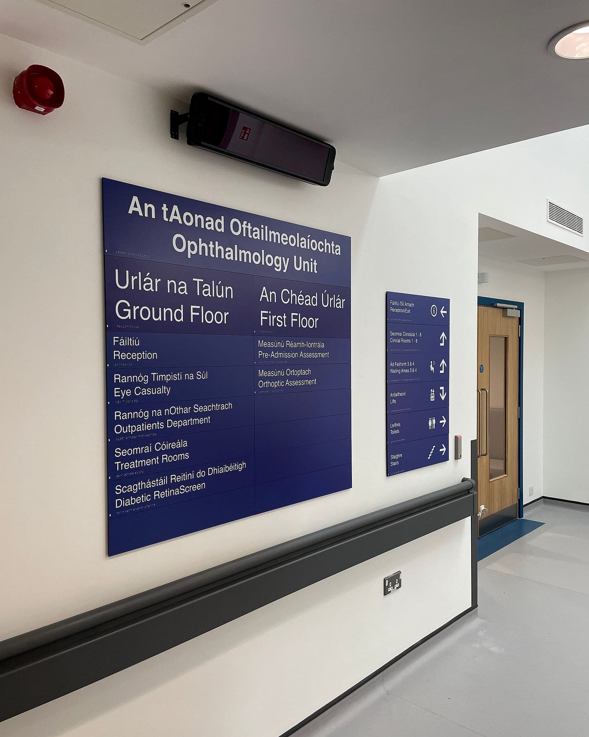
Where the client is a public body, the digital layer should carry Irish alongside English on the same footing as the sign it mirrors. The logic of the Official Languages Act follows the information, whatever carries it. A map naming a department in English only, beside a sign naming it in both, is an inconsistency waiting to be raised.
Maintenance decides whether it survives
Beacon cells last a few years. Maps drift as departments move. A visual scan ages with every refurbishment. And the failure mode is the dangerous one: a wrong sign looks wrong to the staff who pass it daily, and eventually somebody reports it. A wrong map fails silently, in the hand of a stranger who has no way of knowing, and it costs the building trust it can't easily win back. So ask before signing: who owns the room data, on what system, and what happens in year five, when the licence renews and the champion who bought it has moved on?
The order we would work in
- Fix the naming first. Letters, website, database and door should say one thing.
- Build the static system properly: arrival, decision points, directories, door plates. Most buildings' navigation problem is solved and paid for here.
- Add app-free digital where the information genuinely moves: QR at decision points, a web map with nothing to install, directories that stay correct.
- Only then weigh a positioning platform, and only if it clears four tests: an app people already open, an estate large enough to warrant it, a named owner for the data, and a budget that includes year five.
We supply the physical layer and specify the digital one. If you're weighing indoor navigation against a signage refit, read how we approach digital wayfinding, or talk to us before the beacons are ordered.
Planning a wayfinding project? Talk early, while the big decisions are still cheap.